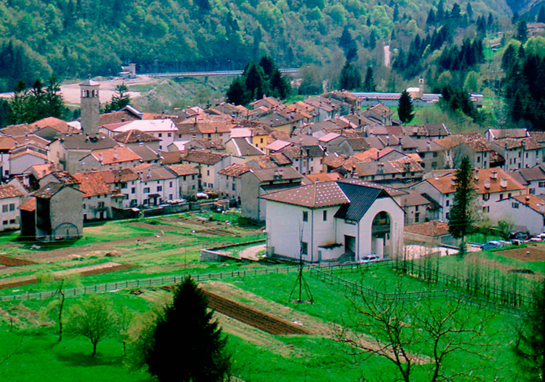
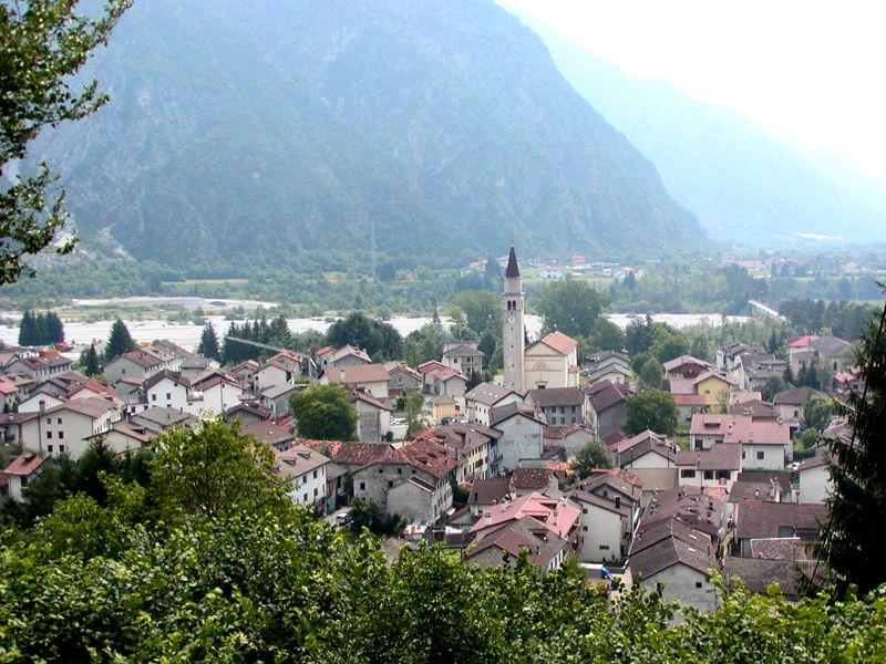
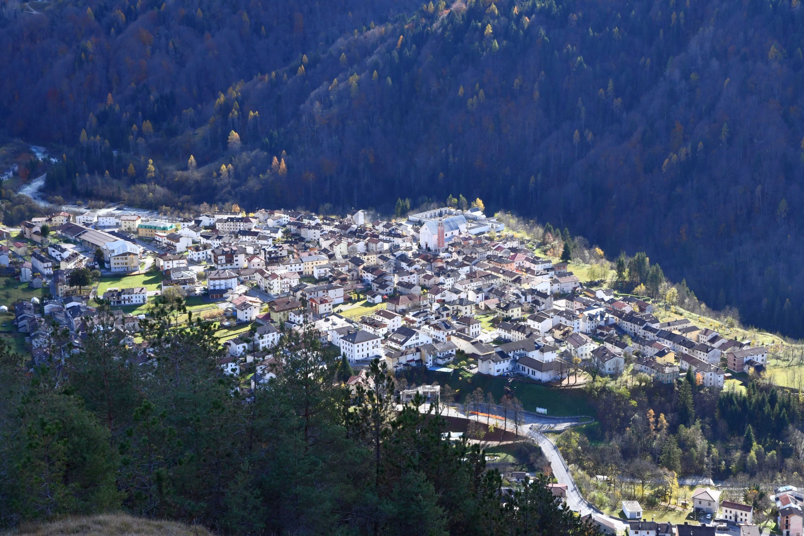
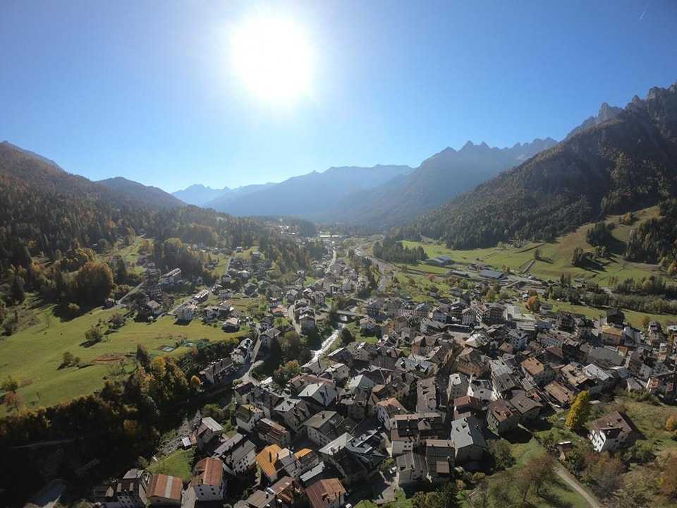
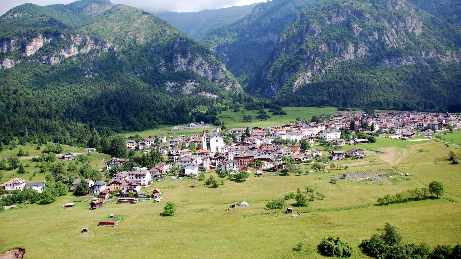
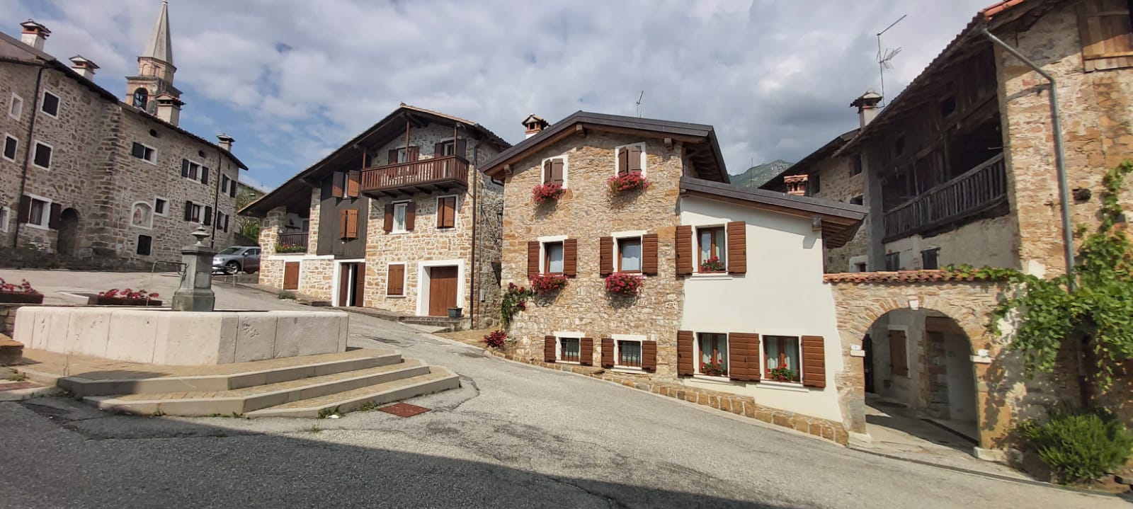
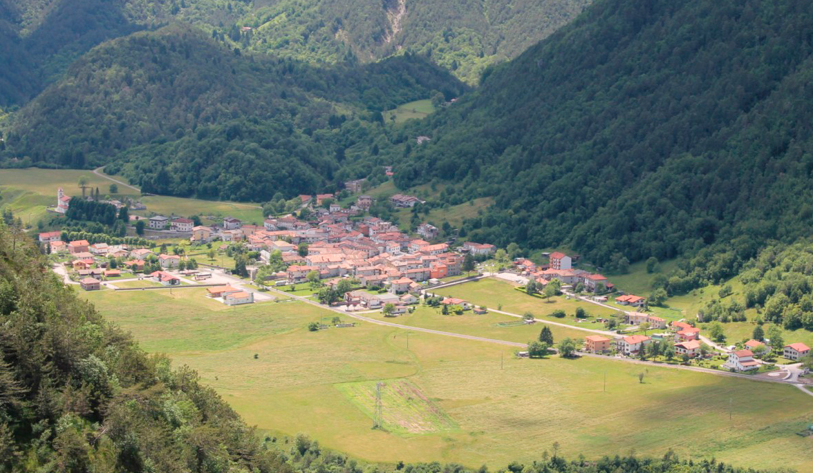
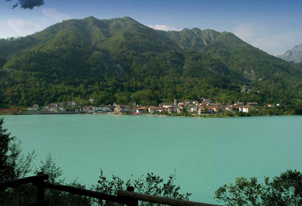
Two different communities constitute a single municipality. Characterized by spontaneous architecture in local stone with the typical pink color, these two countries are located on the opposite slopes of the Monte Toc landslide. Rich in history and charm is the ancient representation of the Passion that has been taking place for many centuries around the village of Erto during the Good Friday, to honor a vow made after a terrible plague. It is the starting point for spectacular paths, such as the Val Zemola one. The village houses the headquarters and exhibitions of the Eco-museum Vajont and in addition it is also part of the Authentic Villages of Italy.
Town Hall:
- Via IX Ottobre, 4
- tel. 0427 879001
- fax 0427 879100
- sito web: http://www.comune.ertoecasso.pn.it/
Place to visit
THE LANDSLIDE AND THE VAJONT DAM
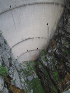
At the end of the fifties and the beginning of sixties, a few hundred meters upstream of the confluence with the River Piave, the stream Vajont was blocked, with hydroelectric purposes, by a dam. This plant was never officially operative because a huge landslide partially filled the tank causing a huge wave and nearly 2,000 victims. The Vajont landslide is only the latest and most tragic chapter in the recent life of a mountain, during which the rocks were formed, raised and then eroded. Human intervention, with the construction of the dam, in a valley already geologically unstable facilitated the detachment, in the evening of October 9, 1963, of the giant landslide (270 million cubic meters), which ran from Mount Toc at high speed into the lake partially filled. The arch dam, 265 meters high, was the tallest of its kind in the world resisted the unprecedented destructive force of the landslide and the wave. The Vajont valley, with the countries of Erto and Casso perched on steep slopes, still appears strongly marked by the event, which actually began even before that tragic night, when the raising of the reservoir caused the loss of the few and poor resources held by the people in the valley. At the Erto Visitors Center you can visit the exhibition “The catastrophe of Vajont, a space for memory”, documentary center that describes the event in all its phases. At the dam there is also a seasonal information office.
ECOMUSEUM VAJONT: CONTINUITY OF LIFE
“Voices of the forest”: wood is the main theme of the museum that preserves the history of the village. Wooden toy that becomes, crib and shoe soles in the exhibition dedicated to children. Good to be purchased, handcart and chest of drawers on the shoulders of the brave street vendors in the thematic route “Leave, I will leave, I must leave …” Art in the wooden works of sculpture symposium celebrating the continuity of life after the anniversary of the Vajont disaster and that divide space with a miniature forest of logs. Mauro Corona has given voice to the trees in the audio-sound path accessible with the sensory headphones. The enchantment of the woods of Erto then reveals itself through “The magic of the wood becomes charcoal”, exhibition dedicated to the ancient craft of the charcoal burner.
The climbing wall
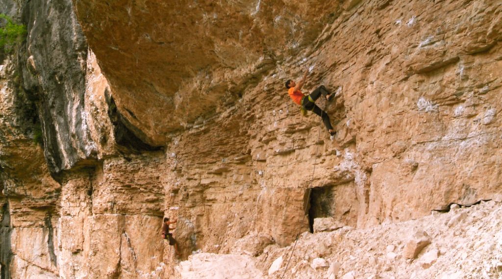
La palestra di roccia alla diga del Vajont (Erto e Casso) è nata nel 1978 ed è una delle più conosciute falesie di arrampicata la mondo. Sotto il roccione di Moliesa esistono più o meno 300 vie di arrampicata di ogni grado. Nella parte centrale, quella color giallo ocra, si concentrano le maggiori difficoltà. In quel settore vi sono vie che arrivano fino all’8c (XI°). Nella zona posta più a destra della parete, vi sono le vie più facili: esse sono segnate da un numero che va dall’1 al 18. Sono tutte vie che, nel primo tiro, raggiungono al massimo il V grado. Vi sono poi vie per incominciare come le n. 13, 14, 15 o “la Candida” o “la Bepi Manarin” e altre vie vicine che non oltrepassano il 3 grado superiore. C’è pure un percorso per bambini molto facile e divertente: si trova proprio all’estrema destra, al termine della Palestra di roccia sulla vecchia strada. La parte sinistra, quella color scuro (verso Longarone), è caratterizzata da vie difficilissime e molto tecniche; comunque la zona più dura rimane sempre quella gialla centrale. Fino a qualche anno fa era la palestra più ardua e impegnativa d’Europa ed è rimasta tuttora una delle più toste, che richiama ogni anno climbers da tutto il mondo.
COAL PATH
È un percorso che collega in maniera ideale l’imbocco della suggestiva Val Zemola (Erto) all’abitato di Casso. Si tratta di un sentiero dove un tempo veniva trasportato a spalla il carbone vegetale dei boschi della Val Zemola. Sentiero “tra leggenda e realtà”E’ un percorso che attraversa la borgata di S. Martino a Erto e ci porta alla scoperta delle antiche leggende che si tramandano nella valle, prima fra tutte quella del castello della Regina Claudia.
LASTE DI SAN DANIELE
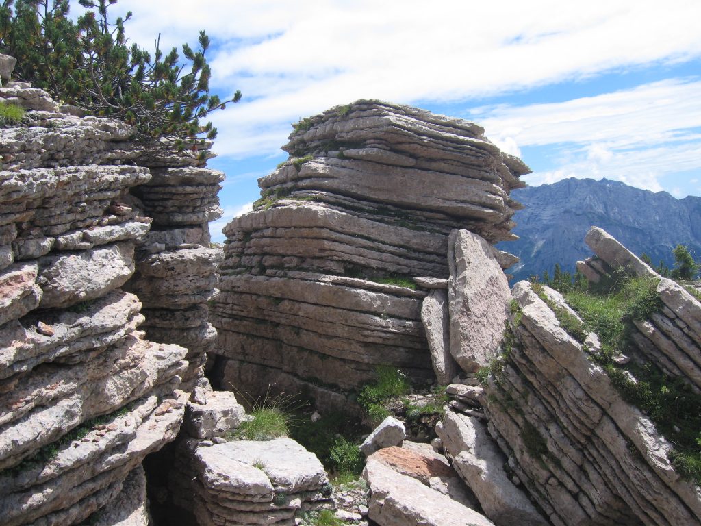
Le laste di San Daniele del Monte Borgà si presentano all’osservatore come vere e proprie cataste di lastroni rocciosi costituiti da Rosso Ammonitico (facies del Calcare di Soccher). Si tratta di ammassi rocciosi residui, che dalla dislocazione piega-faglia del Monte Borgà, essendo costituiti da roccia molto resistente, hanno trovato una loco collocazione su un piccolo pianoro poco sotto la cima del Monte Piave. Qui hanno subito, nel tempo, l’erosione che ha inciso maggiormente le parti più alterabili (argilla detritica), favorendo la frammentazione fogliata.
La struttura nodulare del Rosso Ammonitico è considerata, secondo le ipotesi più attendibili, come acquisita durante la precoce diagenesi ad opera di effetti combinati di modificazioni biotiche, cementazione e dissoluzione. Tali fattori agivano su di un sedimento non omogeneo e costituito da variabili proporzioni di dissoluzione. Tali fattori agivano su di un sediemento non omogeneo e costituito da variabili proporzioni di argilla detritica (parte più alterabile), nanofossili calcitici, bioclasti più grossolani (Saccocoma) e gusci aragonitici di ammoniti.
They are located within a space non-larger than a football field and they give the panoramic ridge a special charm. The upright or upside stacks of flaked sheets remind, in fact, some giant, mysterious books petrified by time. The geometric regularity of the phenomenon, however, gives the impression that the unique structures are the result of the intervention of an intelligent hand. So the legend resists science, because it is necessary for man to keep on growing, in their mind, some kind of mystery. In the past the same stone plates have been transported to the valley and used to make the covers of Casso houses.
VISITORS CENTER
The Visitors Center of Erto is entirely dedicated to the catastrophe of the Vajont in 1963. It is divided into two sections:
First section:
“Vajont images and memories” hosts a vintage photo collection. The route will take you back in time to discover the traditions and customs of the Vajont people before the tragic events of 9 October 1963 until that fateful night when the huge landslide broke away from Mount Toc and fell into the artificial lake unleashing the fury of the water that caused 2,000 victims.
Second section:
“Uno spazio della memoria” descrive in modo dettagliato e scientifico l’intera vicenda dalla progettazione del bacino idroelettrico del “grande Vajont” fino al processo. Tutto è raccontato attraverso pannelli descrittivi. Inoltre si possono consultare tabelle, grafici e confrontare plastici illustrativi. Nella saletta multimediale un cd-rom permette di avere una visione globale sulla catastrofe e di osservare la ricostruzione grafica della frana e filmati originali dell’epoca.
Tutto questo fa del Centro Visite di Erto il più importante e completo centro di documentazione sul tragico evento e anche un valido punto di riferimento per studi e ricerche

