ORARIO DI APERTURA DICEMBRE 2024 E FESTIVITA’ NATALIZIE
Da Domenica 8 Dicembre a Lunedì 6 Gennaio: Aperto la Domenica 15.00 - 18.00
Aperto anche: Giovedì 26 Dicembre, Mercoledì 1 e Lunedì 6 Gennaio
EXHIBITION “THE FOREST TYPES OF THE PARK”
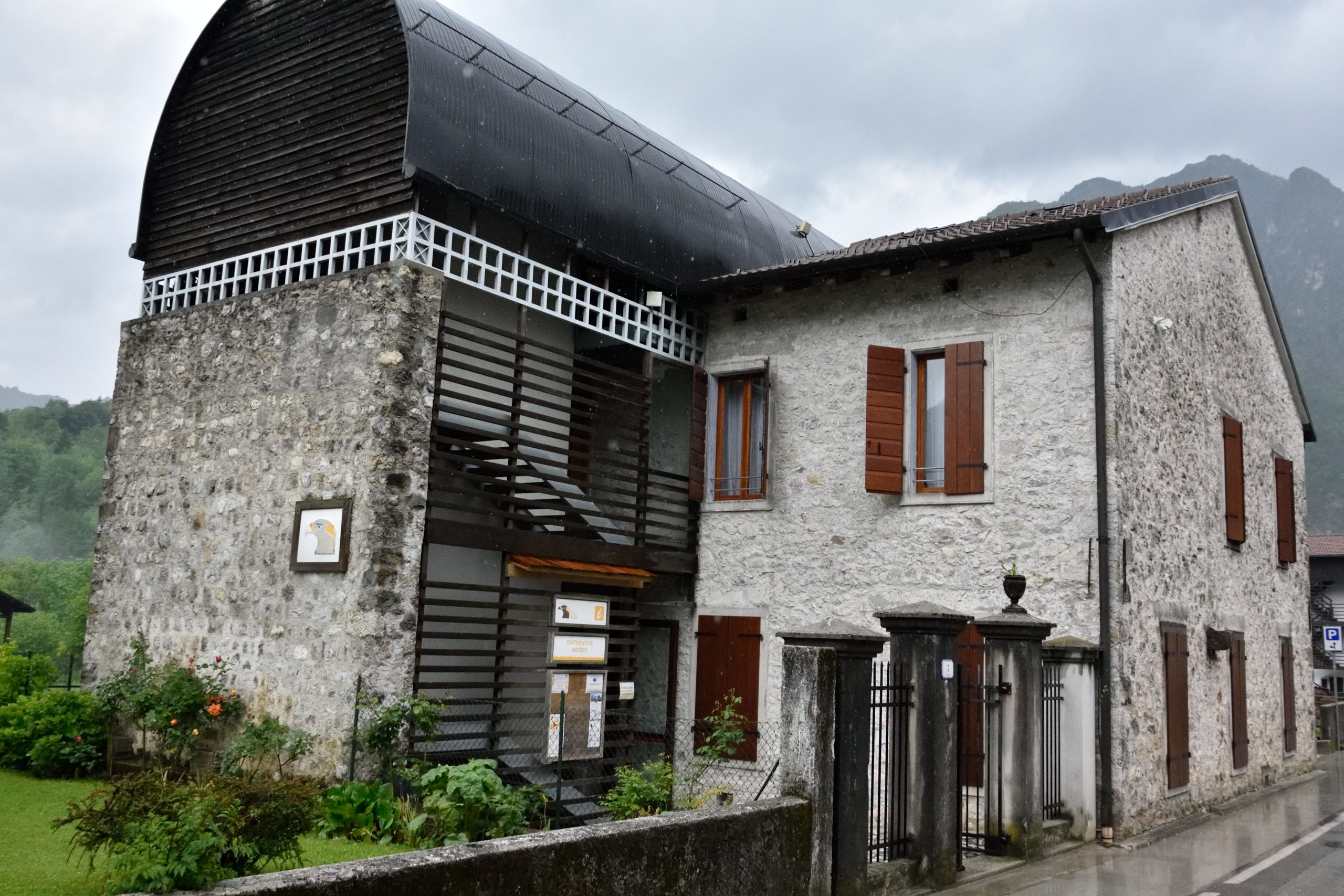
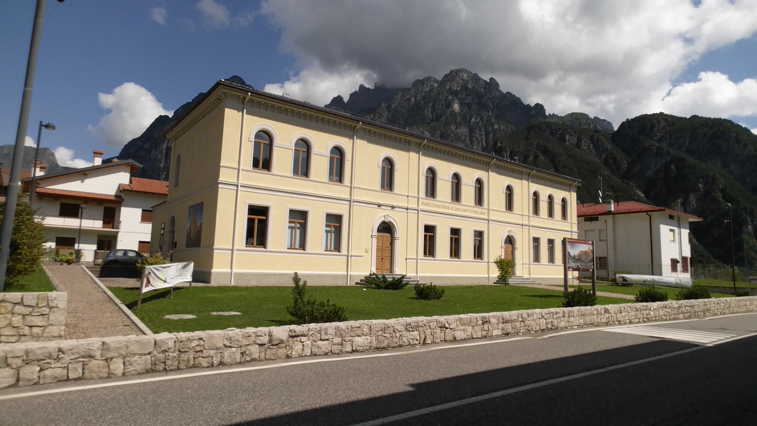
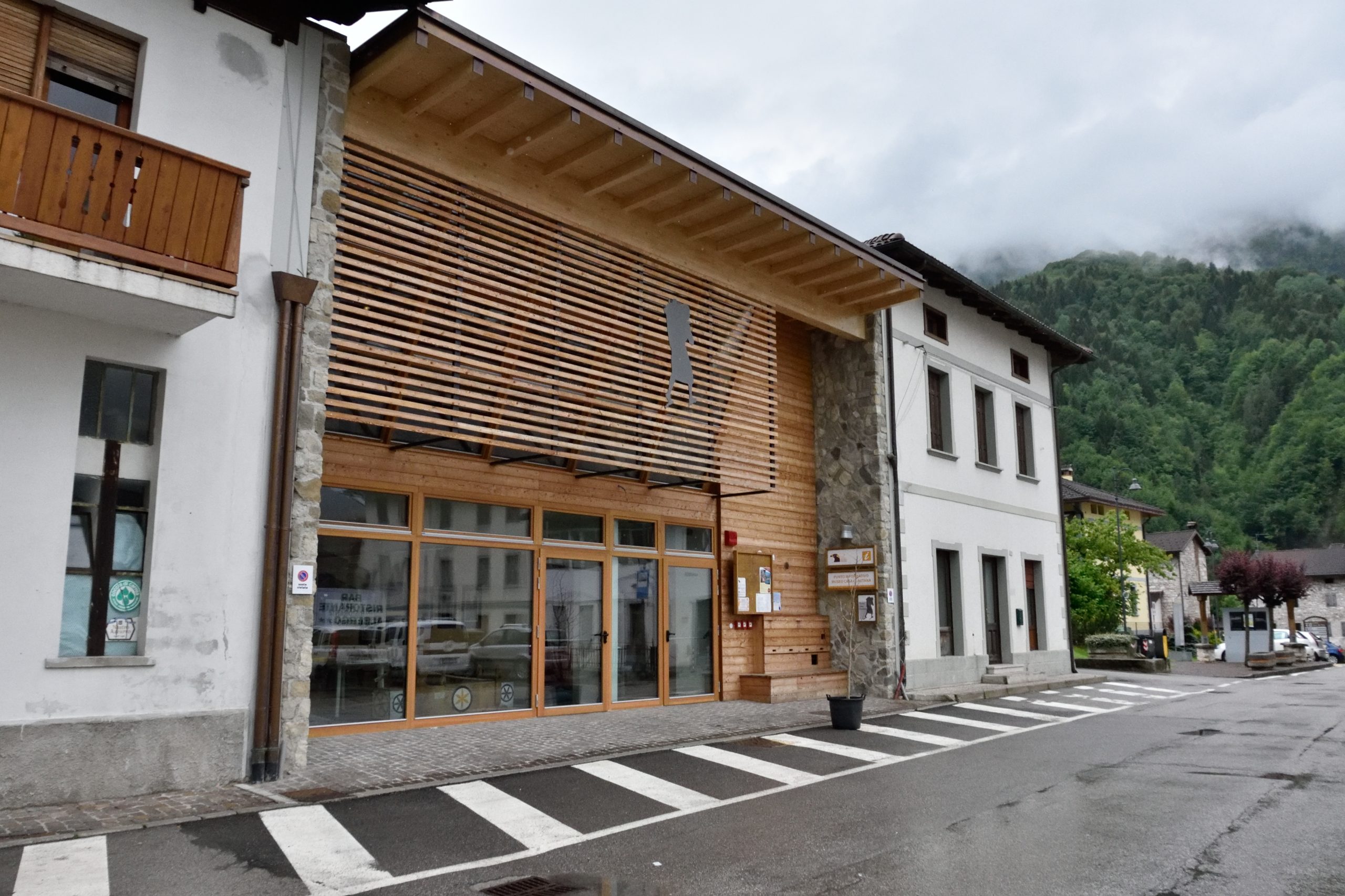
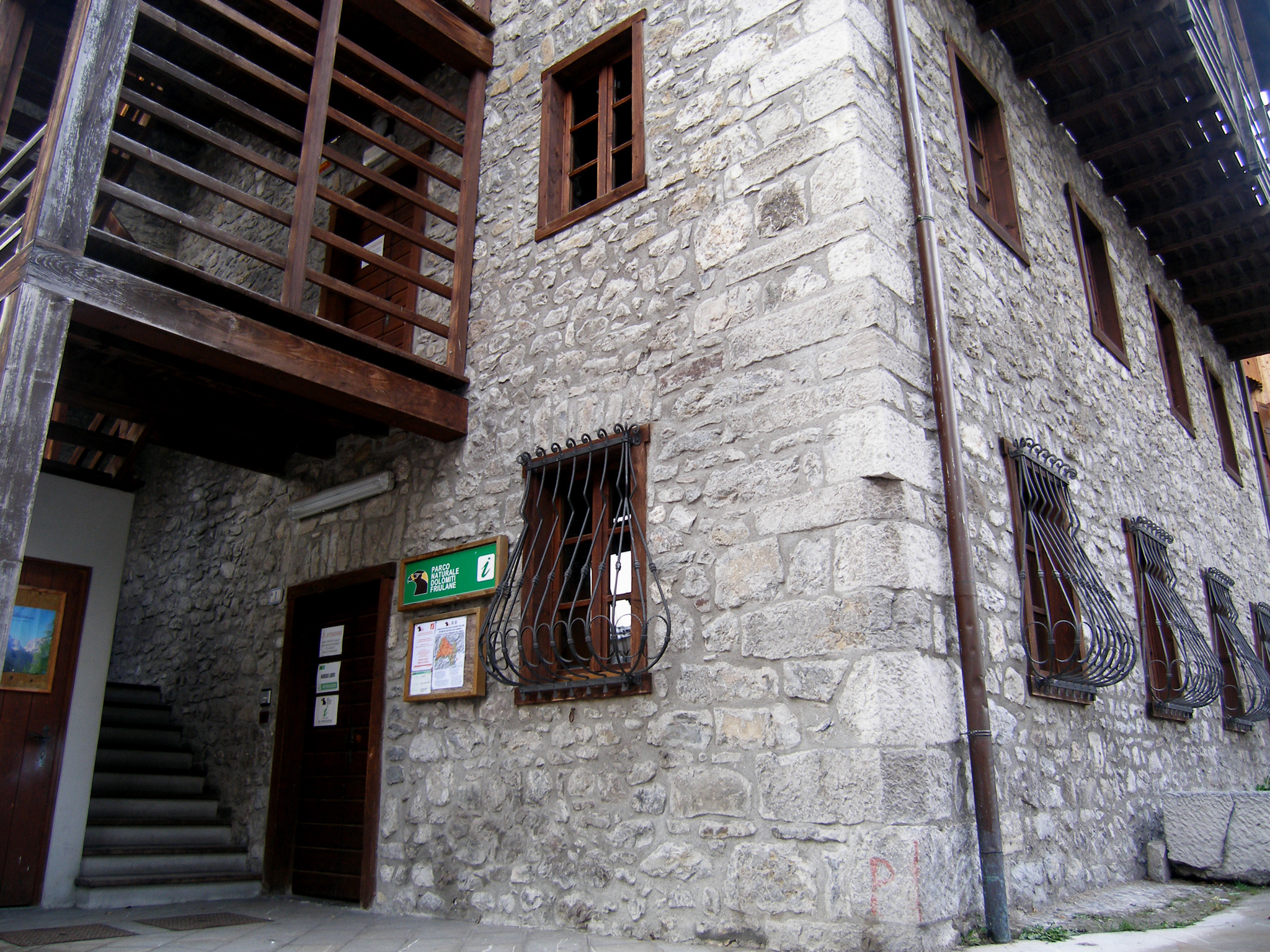
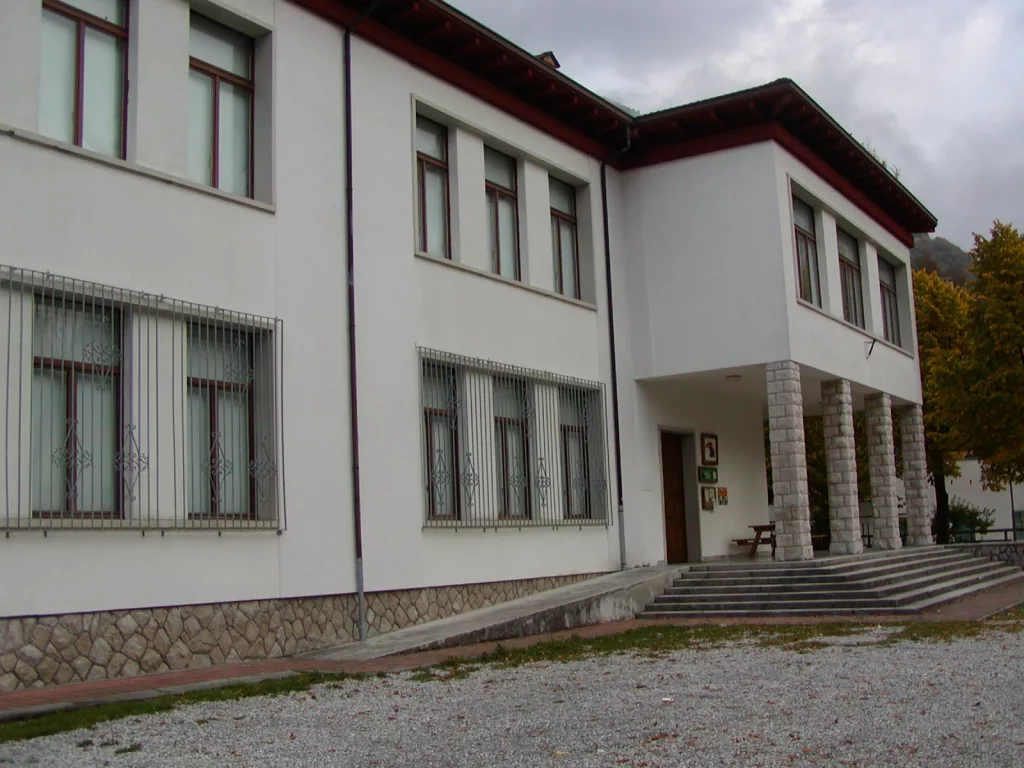
The Visitors Center of the Natural Park of the Friulian Dolomites located in Forni di Sotto, is arranged on two floors of the building opposite the town hall. The exhibition includes educational materials and items in order to spread the knowledge of the naturalistic reality of the Park and more generally of the man-forest relationship. The goal is to allow the visitor to learn about the features that make the Park area worthy of being protected. The Visitors Center of Forni di Sotto exhibition represents “indoors” the forest environment that can be found along the paths of the Park and more particularly develops and covers the following topics:
- the physiological characteristics of the plants
- the forest types and species in the park
- types of soil
- the past and current forest harvesting techniques
È inoltre disponibile per i visitatori un piccolo laboratorio didattico dotato di stereoscopi, una saletta per proiezioni e giochi interattivi.
- INDIRIZZO: Via Baselia, 29 33020 Forni di Sotto (UD)
- TELEFONO: +39 042787333
- EMAIL: info@parcodolomitifriulane.it
The educational trail inside the Visitors Center is organized in sections dedicated to the deepening of different topics.
- Section A: an information desk will give all useful information relating to the territory and structures of the Friulian Dolomites Park.
- Section B: physiological characteristics of the plant. Graphic representation of the plant physiological functions with the path of sap represented with LED lights.
- Section C: the evolution of the forest – evolution diagram of the forest, from bare ground to adult wood
- Section D: types of woods inside the park. Identification of the different types of plants found in the park and soil characteristics.
- Section E: the main species of trees in the park. Illustration of types of tree specimens, of their fruits and leaves
- Section F: educational activities. Presentation of trunks’ sections belonging to the extracts considered. Some stereoscopes are available to observe the natural finds.
- Section G: the man-forest relationship. It represents graphically the man-forest relationship from the Quaternary to the present day
- Section H: the forest management. Current methods of forest management compared to those of the past.
- Section I: man’s work in the forest. Comparison of the equipment used by lumberjacks today and that used in the past.
- Section L: the finished wood products. Explanatory pictures of the different possibilities to use wood: in construction, furnishings, etc.
- Section M: interactive games. Simple games and showing of several documentaries to better understand what described in the exhibition.
The distribution of vegetation within the park is influenced not only by geomorphological conditions but also by the climate and the thermoregulatory action of the near Adriatic Sea. In fact in this area there is the typical decrease of the vegetation altitude limits. The intense and frequent rainfalls, coupled to the low mass-impact and the transverse orientation of the mountain ranges, determine a descent of the vegetation down lower altitudes. As a result of various morphological and ecological conditions on the territory of the park there are different forest stands, different in composition and structure, with smaller or greater productive capacity.
Thus, there are production woods, suitable mainly to the exploitation of the wood material, and protective forests, which mainly protect the soil from hydrogeological instability. Briefly we can distinguish the following arboreal formations:
- The thermophilic forests, consisting of tree-shrub formations of hop hornbeams and Fraxinus ornus;
- The black and Scots pine forests, present on the steepest slopes of the harsh environments;
- Le faggete, che sono i soprassuoli boschivi più diffusi all’interno del parco, costituiti prevalentemente da faggio favorito nel suo sviluppo dal clima locale.Si tratta di boschi che caratterizzano maggiormente il paesaggio e che rappresentano una risorsa importante per l’economia locale.
- The spruce forests, which are forests dominated by Norway spruces, silver firs and beeches; they are located at high altitude areas on the northern slopes; in more accessible areas, even the spruce forests, such as beech, are of considerable economic importance.
- I lariceti e le mughete sono formazioni forestali di alta quota che definiscono il limite superiore del bosco. Le mughete sono costituite dal Pino mugo, specie a portamento strisciante con elevata attitudine pioniera che ha colonizzato i detriti di falda e i ripidi pendii di montagna fino a formare veri e propri popolamenti forestali. In passato dalle mughete si estraeva il mugolio.

