ORARIO DI APERTURA DAL 1 GENNAIO AL 31 MAGGIO 2025
Aperto Sabato e Domenica 10.00-12.00 / 14.00-17.00
APERTO ANCHE DURANTE QUESTE FESTIVITÀ:
Domenica 20 aprile e Lunedì 21 aprile 2025 10.00-12.00 / 14.00-17.00
Da Venerdì 25 aprile a Domenica 27 aprile 2025 10.00-12.00 / 14.00-17.00
Da Giovedì 1 maggio a Domenica 4 maggio 2025 10.00-12.00 / 14.00-17.00
Mostra “La fauna del Parco”
Opened on May 24, 2008 the Cimolais Center has then changed its look. An exhibition divided into four sections devoted entirely to the Wildlife Park through an interactive and multimedia tour. Brand new: the Sensitive Floor, a dynamic floor where visitors can interact with the background images, modifying them as they wish.
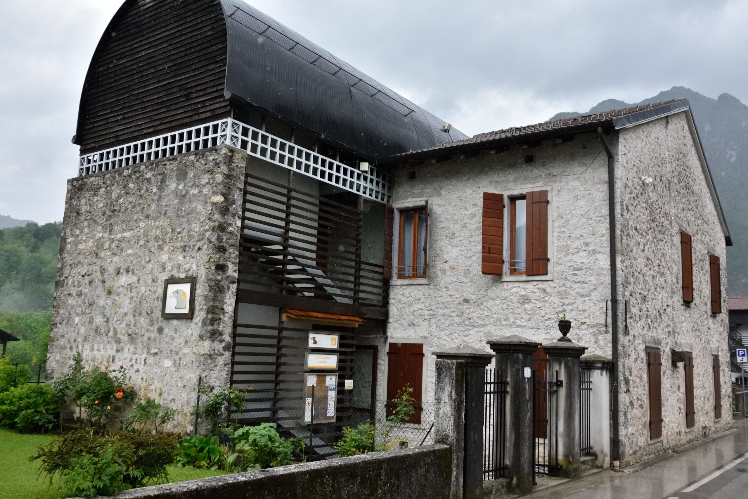
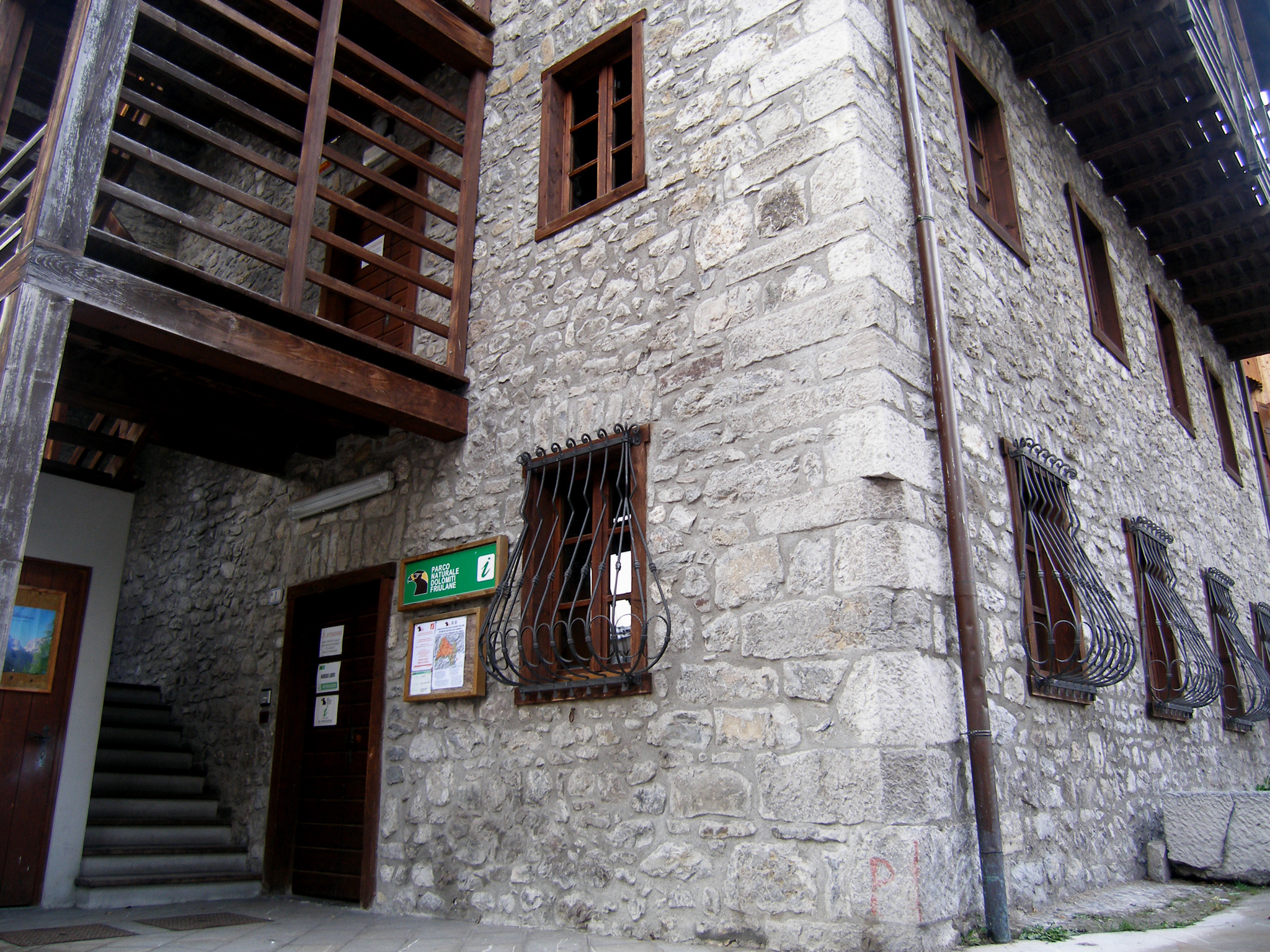
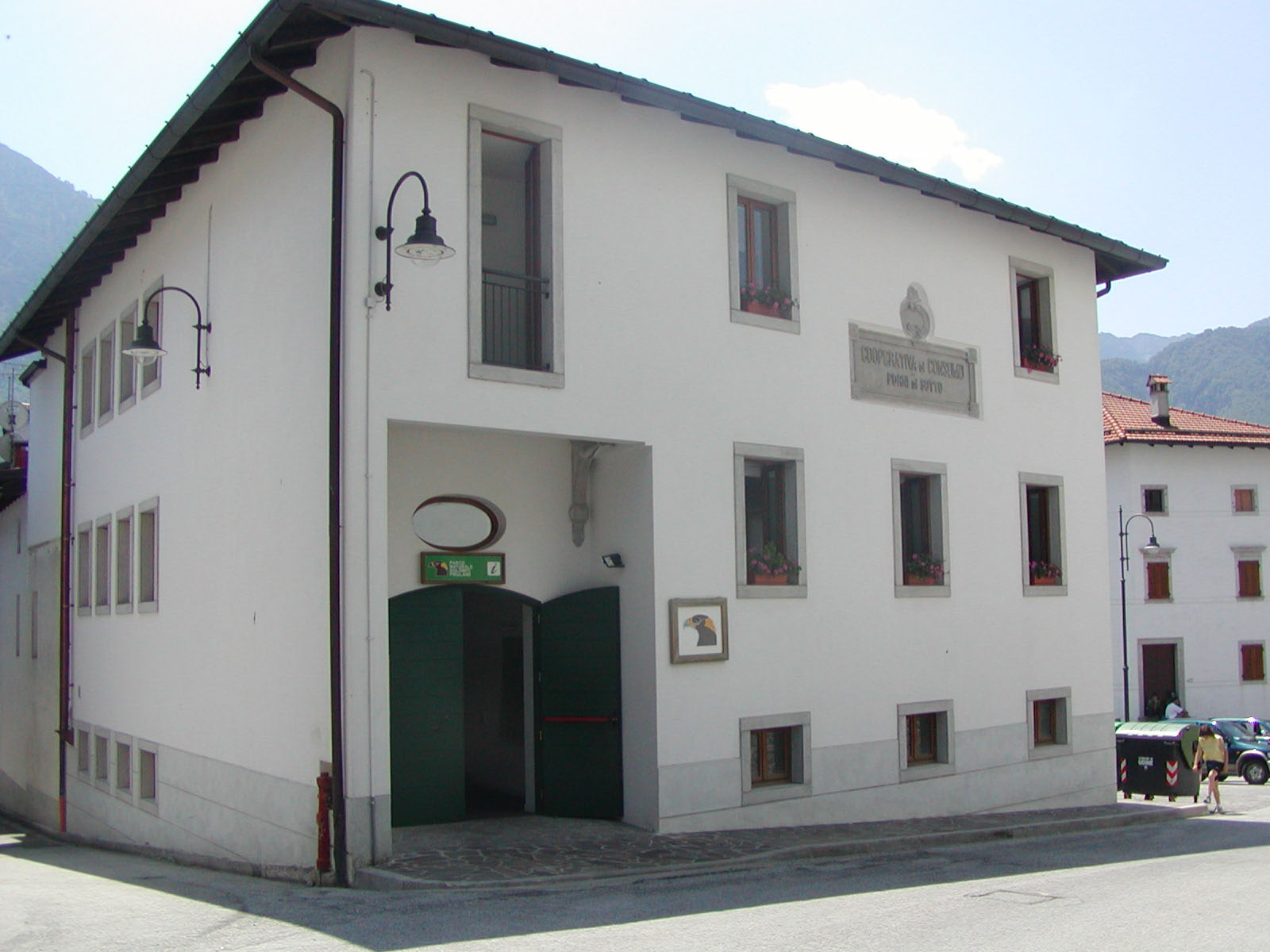
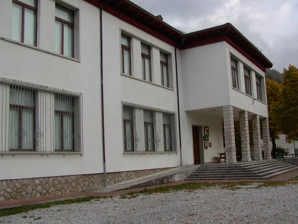
Questo Centro visite è situato al piano terra dell’edificio che ospita anche la sede amministrativa del Parco. È composto da diverse sezioni che conducono il visitatore attraverso un percorso studiato appositamente per dare un quadro specifico e approfondito sulla fauna del Parco. All’entrata il visitatore ha a disposizione delle informazioni generali sui tre parchi partner del progetto: il Parco Dolomiti Friulane, il Parco Prealpi Giulie e il Parco Nazionale del Triglav. Inoltre è possibile conoscere attraverso pannelli specifici gli altri Centri visite del Parco e i principali Punti di interesse. Un plastico a parete ricostruisce il perimetro del parco e una proiezione mette in risalto la mappa territoriale che a rotazione mostra descrizioni e collocazione di principali casere, punti di interesse, rifugi, sentieri e Centri visite. Proseguendo verso il corridoio si trovano altri pannelli descrittivi e informativi su FAUNA, FLORA e GEOLOGIA del Parco. Un espositore mostra reperti naturali riguardanti queste tre caratteristiche principali. E’ possibile osservare ad esempio un lichene, un palco di capriolo o un calcare marnoso. La prima sala contiene invece un percorso particolare che divertirà sia grandi che piccini. A parete sono raccolte le caratteristiche principali dei tre animali più conosciuti del Parco: aquila, camoscio e marmotta. L’intera parete di fronte ospita un espositore con oggetti estraibili contenenti reperti reali di animali come piume, crani, pelli, uova ma anche ricostruzioni di impronte. Aprendo i cassetti sonori si possono sentire il verso del camoscio, il verso della marmotta e quello dell’aquila. E in altri scoprire e vedere con i propri occhi come è fatto il giaciglio del camoscio o la tana della marmotta.
Scarica il pieghevole informativo
FAUNA
Il percorso prosegue fino al Pavimento interattivo e dinamico costruito in una sala attrezzata con video proiettori appositi che mostrano delle immagini sensibili: toccandole si può soffiare via la nebbia dagli alberi e dalle pareti delle montagne, si possono calpestare foglie secche oppure lasciare le impronte sulla neve. The last part of the corridor ends the exhibition with a deepening about: approfondimenti su:
The descriptive panels are complemented by evocative and impressive wall paintings, made by Mario Alimede, where you can recognize the different animals painted in their natural environment.
- INDIRIZZO: Via Roma, 6 33080 Cimolais (PN)
- TELEFONO: +39 042787333
- EMAIL: info@parcodolomitifriulane.it
Geomorphology has the aim at studying and understanding the Earth’s landform. So it studies the forms that determine the appearance of a landscape and the underlying causes of those forms. The appearance of what surrounds us is the result of a series of phenomena which can be grouped into two broad categories:
- endogenous processes (tectonic, seismic, volcanic)
- exogenous processes (phenomena linked to the atmosphere, the hydrosphere, the biosphere)
The terrestrial forms derive usually from the overlap of more of these processes. If we think big the landform features, they appear primarily as the result of endogenous processes to which we owe the structure of the Earth’s crust: continental masses; ponds, ditches and ocean ridges; great mountain ranges. If we look more closely at a limited area of the Earth’s surface we would see, in all their variety, the forms of modeling due to exogenous processes: valleys erosion, plains and alluvial terraces, karst forms. In nature there are different processes and agents that determine over the time a change of the landscape forms. Structural geomorphology studies the forms related to the “geological structure” in a specific area; these can be affected by:
- tectonic (seam of the layers, presence of faults)
- strata (presence of different rocks in the sedimentary sequence)
- type of rock (by its characteristics depending on how much it is moldable by erosion)
The human geomorphology instead is interested in the forms caused or influenced directly and indirectly by human activities. Being now the man a modifying agent of the landform, much more of many natural processes.
RIVER BASINS
The territory that collects rainfalls and water gathered in the same river is called the river basin; this basin is bounded by the watershed lines running on the ridges, thus separating one basin from another. The water catchment areas have very different sizes depending on the importance of the waterways to which they belong. The basin of a river is divided into many sub-basins as the number of its tributaries, and each of them, in turn, into many smaller ponds (depending on how many its sub-tributaries are).
MORPHOLOGY OF SOME TYPES OF RIVERBED
Riverbed dug in the rock, within a mountain valley. The shape is irregular and depends on the mode of erosion, by the resistance of the rock, from its fracturing, etc … riverbed excavated in rock, but covered in large part by pebble accumulations left at the end of each overflow. It takes shape a gravel bed in the form of temporary islands. The relationship between depth and width is much less than in the previous case. Riverbed characterized by an expanse of pebble floods, crossed by a network of little etched channels. It is typical of the streams, with plenty of material transport on the bottom. The abundance of debris forces the current to deflect and to divide frequently. Wide riverbed with sandy islands. It is similar to the above but with well-defined islands consist of mainly sandy floods. Bed with meanders, with well-defined banks, within a floodplain. One can see the traces of the old abandoned meanders. The relationship between depth and width returns to be greater than in the previous cases.
ALLUVIAL FANS
Riverbed dug in the rock, within a mountain valley. The shape is irregular and depends on the mode of erosion, by the resistance of the rock, from its fracturing, etc … riverbed excavated in rock, but covered in large part by pebble accumulations left at the end of each overflow. It takes shape a gravel bed in the form of temporary islands. The relationship between depth and width is much less than in the previous case. Riverbed characterized by an expanse of pebble floods, crossed by a network of little etched channels. It is typical of the streams, with plenty of material transport on the bottom. The abundance of debris forces the current to deflect and to divide frequently. Wide riverbed with sandy islands. It is similar to the above but with well-defined islands consist of mainly sandy floods. Bed with meanders, with well-defined banks, within a floodplain. One can see the traces of the old abandoned meanders. The relationship between depth and width returns to be greater than in the previous cases.
EARTH PYRAMIDS
The pyramids or erosion pillars are very characteristic forms, created by the run-off rain flows on rocks or not coherent and heterogeneous deposits, containing large blocks, such as some moraine and river- glacial deposits of the Alps. The erosion of the run-off flows makes stand out thin pinnacles, topped by boulders as a protection. Instead of the rock, at the top of the erosion pillar you can find other protective elements:
- a residue of a harder rock bank
- a clump of plants
In some cases the pinnacles resist or they also take shape without any protective element.
- production function (production of wood, cellulose, cork, resin, distillate)
- protective function (anti-erosive action – retention of surface and ground waters, consolidator action, windbreaks, avalanches and landslides barrier action)
- recreational function (place of recreation – walking, hiking, hunting, mushroom gathering, observation of flora and fauna)
- environmental regulator and hygienic functions (production of oxygen, air and water purification, changes in air movements, local weather modification)
- natural function (source of biodiversity) consists of many different plant species, it gives shelter to many animal species – mammals, birds, reptiles, amphibians, insects, complex ecosystem
The forest is a complex plant formation that develops from several meters below the ground surface (maximum depth reached by the roots) to the maximum height reached by the upper branches (in nature there are trees that can exceed 130 meters in height). The forest is a unique naturalistic environment; trees and shrubs provide shelter to many species of animals (mammals, birds, reptiles, amphibians, insects). Trees produce abundant litter and they are, together with shrubs and other plants, a rich source of food for many vertebrates and invertebrates, fundamental elements for the presence of the higher fauna.
FOREST TYPES OF FRIULI VENEZIA GIULIA
Basal Horizon
Corresponding to the areas between the sea level and 200 meters above sea level. series of Mediterranean evergreen forest and pine woods series of lowland hornbeams and oaks.
Hill Horizon
It identifies with the vegetation of the lower slopes but also the high Friuli plain taking into account that the Friuli Venezia Giulia region is quite affected by the proximity to the Adriatic Sea.
- series of downy oaks and ostria
- series of hilly hornbeams
Mountain Horizon
The mountain horizon corresponds to a highly variable belt due to, above all, the extreme variability of the exposure of the slopes. Consequently, the lower limit fluctuates from 300 to 400 meters and the upper from 700 to 1000 meters above sea level.
- series of beech
- series of mixed beech and spruce woods
- series of mountain pines
- series of mountain spruce forests
- series of pines
Orizzonte subalpino
È l’orizzonte con cui si conclude, nelle alpi sud-orientali, la vegetazione forestale. Si estende dai 1300-1400 metri fino ai 1600-1700 metri, dove lascia spazio all’orizzonte alpino composto da praterie e dalla vegetazione delle rocce e dei ghiaioni.
- series of sub-alpine spruce forests
- series of larches
- variety of mountain pine and green alder woods
THE YARDING
Concentration of ricing trunks. The limited wood-wood friction (improved by wetting the risina surface) enables the easy sliding of the trunk along the eave bed, set up with the same material. Currently are also used sheet metal or plastic small channels.
THE TREE
Trees are organisms capable of producing their own food by themselves using the water absorbed by the roots, the carbon dioxide absorbed by the leaves and the energy supplied by the sunlight. The final result is the formation of carbohydrates (glucose) which are the basis for the production of starch, cellulose and lignin. Another product of these reactions is the oxygen which is released in the air from the leaves. This process is called photosynthesis. 90% of the weight of a tree is made up of only three elements: carbon, hydrogen and oxygen, confirming that most of the raw materials necessary for the growth of plants come from air and water. The remaining elements are present in small amounts but are essential for the formation of plant tissues: nitrogen, potassium, phosphorus, magnesium, iron … are located in the soil dissolved in form of salts. They are absorbed by the roots and transported together with the water as raw sap to the leaves. The products of photosynthesis, which include in addition to glucose other molecules derived then from this, are conveyed in solution in phloem sap, which, through the bast, it will be distributed to all the cells of the plant. To live and grow the tree, like any other living being, must consume energy. This energy is produced by “burning” a part of organic substances produced in the photosynthesis. To do this the plant needs oxygen essential in each combustion. The plant absorbs from the atmosphere, through the leaves, the oxygen necessary for combustion of the carbohydrate and release outside the carbon dioxide. This process is called respiration and can be expressed by the following chemical reaction. The amount of carbon dioxide emitted by plants during respiration is approximately half of that absorbed during photosynthesis. Another product of the respiration of plants is the water that is lost, in the form of water vapor, from the leaves (vapor- transpiration). The water used during photosynthesis and that lost from the leaves for vapor-transpiration is continuously replaced by other water absorbed by the root system.
- Photosynthesis
The tree absorbs from the ground water and mineral salts and carbon dioxide from the air. It produces so, starting from simple substances (inorganic), and with the aid of solar energy, more complex substances such as carbohydrates.
- Breathing
The tree absorbs the oxygen from the air, essential for the combustion of carbohydrates to produce the energy required for its growth.
WATER AS A DRIVING FORCE
The power of water has been used since ancient times to obtain mechanical energy for different types of machines. The more common example is that of the water mills where water, properly channeled, made spin a special “wheel” which was connected (through the gears) to the grindstone. Several other factories have over time been operated by hydraulic energy: anvil, sawmills, mills, etc …
Only in the last century, man began to use the power of water to produce a more easily transportable type of energy and so usable from a great distance from the production area: electricity.
ELECTRICAL ENERGY
Before explaining how to use the power of water to get electricity it is good to briefly explain how to produce electricity. Electric current is achieved by rotating a magnet in the middle of a winding of metal wire. The magnetic field produced by the rotating magnet “induces” in the winding a magnetic field, and then electric current. The machines that do this are called “dynamo” or ” alternators” depending on whether they produce DC or AC. A dynamo used in everyday life is the one that powers the light of some bicycles. The magnet in this case is made rotating by the wheel and then actuated by the person who is pedaling. Of course, for the production of large amounts of electric current are built very large alternators and dynamos; inside these machines, there are no magnets (because in nature they are not so large) but of artificial magnets obtained by passing the electric current around the iron cores. The little current needed to create the electromagnet is produced by a smaller dynamo. The use of water for the production of electrical energy. After this brief explanation on how to get the electrical current is easy to see that in the process described the power of water is used to spin the dynamo or the alternator. This does not occur directly but through a “turbine”; a sort of mill “wheel” moved by the water and connected to the dynamo and to the alternator through a metallic shaft. The water to make the turbine rotate must have a certain speed; it is therefore necessary that the point where water is picked up is located in a higher place than the one of the turbine. All this can be achieved in various ways depending on the amount of water available, the hydraulic scheme of the stream used, the amount of energy to be produced. One method is to deviate with a small dam the water of a stream or a river, into a channel. The channel allows you to find water in the place where the electricity is produced. This place is called “hydroelectric power station” and it is a building in which there is a whole range of equipment including turbines and alternators. In particular the water, through the channel, is carried in a “loading tank” situated a little more upstream and at a certain height above the center; departing from this tank of large pipes ( “forced ducts”) in which the water falls at great speed making the turbines work and operating so the alternators within the plant. In case of torrential rivers it can happen that during periods of low there is not enough water to operate a hydroelectric plant. In these cases you can build dams and create artificial lakes in which you can store rain water to use it during the dry season. An artificial reservoir can be compared to a bathtub: on its bottom, generally in the vicinity of the dam, there is a drain to which are connected the forced ducts leading the water to the turbines of the power plant. If the tank is full and continues to get more water than the one used by the hydroelectric power station, this is gathered downstream of the dam by a surface-water drain which functions as the drain that prevents water going out of the bathtub when you forget the running tap. Sometimes the same water is used for more stations; these are arranged at a certain distance from each other and each station is located in a higher position than that of the next central. In this way the water after having operated the turbines of the first station can, traveling the difference in level that separates it from the next, reach the speed (and hence the energy) needed to make the turbines spin. Downstream of the second plant there can be a third station, situated in a lower position, and so on. Finally, water is returned to the river or the stream from which it was taken, or may be used for other purposes such as crop irrigation or service aqueducts.
IL TRASPORTO E LA DISTRIBUZIONE DELL’ENERGIA ELETTRICA
As already mentioned, the electricity generated in power plants can be easily transported and used in places, even distant: electricity we use at home may also have been produced hundreds of kilometers away from our countries. The energy transportation occurs through the high-tension wires. These are so called because the current that runs the length of them has a voltage of hundreds of thousands of volts. The electric current that we use in our houses instead has a voltage of 220 volts, while the current produced in the power stations has still a different voltage. There are some machines called “processors” that are able to change the voltage of the electric current. The electric current produced in power plants is transformed into high voltage current to be transported in electrical networks for long distances; then other transformers reduce the voltage to get current arrive at 220 volts in houses.
DAMS
The dams are river levee works used to form the reservoirs (artificial lakes or basins) that have at least one of the following purposes:
- Electricity generation
- Drinking water supply
- Irrigation
- Rolling flood
Dams are divided into three basic types based on how they resist the buoyancy of water reservoirs:
- Gravity, where the water pressure is opposed by the weight of the dam,
- Arc, which discharge the water pressure on the sides of the valley where the dam is set
- Arc-gravity (or with combined action), in which collaborate both the own weight of the dam and the arc effect.
Extra elements of a dam:
- the taking work, which includes the structures and equipment necessary to pick up the water from the tank for water distribution, irrigation, or production of electricity.
- the drain work:
– The spillway, through which the flow of the stream, with full tank, can cross the dam without damage to neither the artificial works nor the natural riverbed;
– The bottom drain, by means of which it is possible to rapidly empty the tank to allow the inspection of the normally submerged parts.
THE OLD DAM
The “old dam” is located along the gorge of Cellina few hundred meters downstream of the confluence of the stream Molassa.
It was the levee and taking work of the first industrial plants that have exploited the waters of the Cellina river for hydroelectric purposes.
È stata costruita tra il 1900 e il 1905 e serviva a deviare una parte dell’acqua del torrente nel canale di adduzione che alimentava i quattro gruppi generatore turbina Francis-alternatore ad asse orizzontale della Centrale di Malnisio.
The dam is only 18 meters high; in fact it is not a dam itself but more a crossbar: levee work, placed orthogonally with respect to the stream used to capture only a part of the water without creating a reservoir upstream.
The flow channel was then less than the minimum flow rate of the stream in order to have always the water needed to operate the plant. In this way also, the water not diverted continued its travel along the channel, following its normal course in the riverbed of the stream.
The dam foundations are made of concrete material while the elevated part is made of squared stone; the slides on which the unused water falls and then continues along the natural riverbed, are covered with large square blocks in porphyry.
Above the dam a three meters large deck had been created and on which there was the road that connected Montereale with Andreis and Barcis.
TURBINES
Turbines convert kinetic energy into rotary motion. They are actuated by the water which falls from a certain level to a lower one, along forced ducts. The rotary movement of the “impeller” (as it is called that device, within the turbine, which is rotated by the water) is then transmitted to a dynamo or an alternator through a metallic shaft.
There are three basic types of turbines:
- The Pelton turbine, generally with horizontal axis, is particularly suited to deep differences in height. The impeller is constituted by a disc, in the periphery of which are mounted double spoon- shaped small shovels.
- The Francis turbine, with vertical or horizontal axis, is used for medium drops and medium flows. It is characterized by a spiral forced room: “snail”.
- The Kaplan turbine, generally with vertical axis, is used in hydroelectric plants of great power and represents the type of turbine with increased efficiency. The impeller has the form of a propeller with movable blades that can be oriented to better exploit changes in flow rate or in water speed.
Index of presence
The presence in a given zone of an animal species can be deduced, as well as with the direct observation, through the discovery of its “traces.” Certain categories of animals can have a very thin presence on the ground; other animals have very evasive behavior: this makes them particularly difficult to observe. There are several categories of “signs” left by particular animals determined by their habits and behavior.
The presence of an animal species in a territory can be deduced through the discovery of:
- footprints, tracks, trails
- dens, nests and bedding
- food remains and signs due to the search for food
- tufts of fur and feathers entangled in the branches or bushes
- droppings
- scratches, stripped barks, marks left on the trees
The signs of their presence can be very useful to determine the presence of a new animal species (or its return) in a territory before it is directly observed. In recent years, these “signs” have allowed to reveal the return in our region of some large carnivores: bear, lynx, wolf. These indexes are still used to monitor the presence and movement of these animals in the Friuli Venezia Giulia region.
FOOTPRINTS
The word “footprint” means the imprint left on the ground (mud, sand, frost, snow) by a single paw. “Track” instead means all footprints of the animals’ paws. The different position of footprints in the trace indicates the animal’s gait: walk, trot, run, jump. A trail means the range of traces left by the animal along its travel. A trail can provide various information to the viewer; sometimes it is just not possible to identify the species of the animal that left it; in some cases you can also define:
- the animal’s sex
- the animal’s approximate age
- the animal’s speed
With the evolution of species, the limbs of mammals have undergone changes over time that have adapted them to different types of gait: from the original plantigrade foot, slow (bear), derived the digitigrades, fast (of foxes and hares ), and finally the unguligrades, fast (deer or chamois). At the same time there was a proportional limb lengthening.
- Plantigrades walk placing on the ground the entire sole of their feet , equipped with pads, wide heel and five clawed fingers.
- Digitigrades walk placing only three toes on the ground and not the entire sole of the foot, they have smaller pads and four or five toes with strong claws.
- Unguligrades in turn divided into Artiodactyla and Perissodactyla rest on two or just one toes.
An ecosystem consists of:
- non-living component of a certain environment, or physical environment and climate-related parameters
- living component of a certain environment, ie all living organisms
- system of relationships that links the elements of the various components, or defines the ecological relationships:
– Habitat relationship, organism-environment relationship – Trophic relationship, relationship among organisms
Gli animali si procurano le sostanze nutritive di cui hanno bisogno mangiando piante o altri animali che a loro volta hanno mangiato piante. Quando un erbivoro mangia una pianta, e poi un carnivoro mangia l’erbivoro, la successione degli eventi viene chiamata catena alimentare (o sequenza trofica).
In a food chain can be distinguished:
- Producers
- Primary consumers – herbivores / frugivores
- Secondary consumers – insectivores and carnivores (predators)
Among the living organisms of an ecosystem can be built numerous food chains. The same organism (producers and consumers) can appear in more chains.
Different animals have often shared food source; this causes competition between them. Numerous predators, occupying the last part of the longest food chains, have a varied diet. The bind of more linear food sequences defines a food network.

